 When most people think of archaeology, they might picture researchers digging in the dirt or trekking through a remote landscape searching for artifacts.
But on a recent morning outside of Lake Placid, a team of researchers traded shovels for handheld tablets as they watched a drone lift off from a bright orange landing pad, tilting forward and beginning its programmed flight over a dense stretch of Adirondack forest.
On the ground, Eileen Ernenwein and Steven Jones, geosciences professors from East Tennessee State University, monitored the drone’s flight path. The aircraft, equipped with Light Detection and Ranging, or LiDAR technology, soared about 325 feet overhead.
The aircraft covered about 200 acres of woodland once believed to be part of Timbuctoo, a 19th-century Black settlement founded near Lake Placid by white abolitionist Gerrit Smith.
In the mid-1800s, Smith granted parcels of his vast Adirondack property to Black families, hoping land ownership would offer economic independence and, at the time, the right to vote.
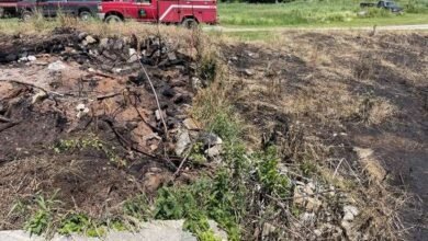
But over time, the forest reclaimed much of that landscape. Homes, roads and farm fields faded from history, leaving only fragments in historical maps and in scattered archaeological evidence.
Now, researchers are turning to remote sensing technology to survey land once believed to be home to several Timbuctoo land grantees, hoping to find traces of human activity carved into the landscape nearly 200 years ago.
You can learn more about how archaeologists are using LiDAR to discover former Black family farms in the Adirondacks in this piece by Report For America corps reporter David Escobar at our reporting partner North Country Public Radio (NCPR).
 NCPR is the member-supported public radio network serving as the primary NPR member station for the Adirondacks, the St. Lawrence Valley, the Champlain Valley, and the Thousand Islands region. NCPR operates a network of over 30 transmitters and translators covering northern New York, western Vermont, and parts of southeastern Ontario and Quebec. You can find the full broadcast schedule, become a member, or listen to their live stream directly on the North Country Public Radio website.
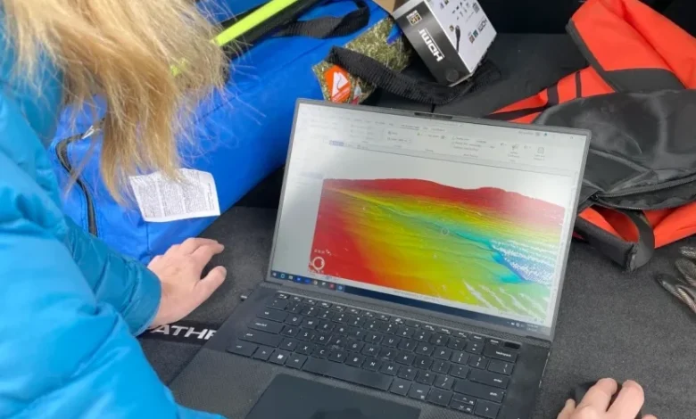
Illustration: East Tennessee State University professor Eileen Ernenwein examines a 3-D model created by LiDAR data, part of a land survey of an area that was once home to Timbuctoo land grantees (photo by David Escobar).
Source link