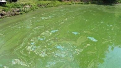
 A new video series launched by the Lake Champlain Basin Program in partnership with Peregrine Productions and NEIWPCC celebrates the beauty of the Lake Champlain basin and efforts in several communities to protect and restore their shared waters.
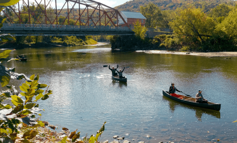
With the web-based Summit to Shore StoryMap as a guide, viewers can digitally explore the landscape around Lake Champlain, from distant mountain peaks in the headwaters to wetlands on the lake’s shoreline. The videos include breathtaking drone imagery, intimate portraits of streams and rivers, and panoramic 360-degree video.
The map and videos feature three of the major rivers that flow to Lake Champlain:
The Winooski River, Lake Champlain’s largest tributary, flows through the largest population center in the basin before emptying into the lake in Burlington, VT.
The Ausable River begins in the High Peaks of New York’s Adirondack Park, one of the oldest, largest, and most unique protected areas in the United States.
The bi-national Missisquoi River ties Quebec’s rich French heritage with English tradition and includes the only federally designated Wild and Scenic River in the Lake Champlain basin.
The Summit to Shore stories include an artist-in-residence program that connected students to their watershed; a collaboration between private landowners and their local watershed organization to remove a dam; improvement of public river access points; and a partnership between a researchers and town officials to reduce the amount of road salt entering a local lake.
To experience Summit to Shore, tour the video collection.

Source link