 MyCoast NY is a public web tool which offers an opportunity to contribute and access photos of flooding, shoreline change, and storm damage from anywhere in the state.
When you submit a photo, it is automatically linked to real-time weather, river, and tidal gauge data to help provide context for the photo.
The tool also creates reports that help stakeholders such as government agencies, business owners, and residents understand our changing environment and make informed decisions.
Photos can be submitted through an app or the MyCoast NY website.
MyCoast tools include: Flood Watch, which tracks flooding across the state, including flash floods, riverine, coastal, and stormwater; and the Storm Reporter, which documents storm damage across the state.
MyCoast NY is a project of New York Sea Grant and New York State Water Resources Institute at Cornell University.
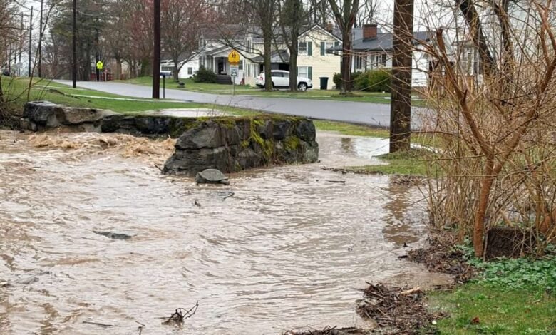
Photo of flooding in Union Springs, Cayuga County, in March 2026 by MyCoast user Christina Cummings-Shattuck.
Source link