
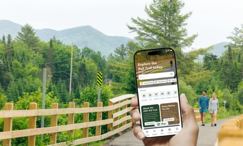
 A new Adirondack Rail Trail App has been launched, a free mobile resource designed to enhance the visitor experience and encourage exploration of the region’s communities, businesses, and attractions.
Developed by the Regional Office of Sustainable Tourism (ROOST) in partnership with local technology company UpNCoding, the app features interactive maps, trip-planning tools, and important trail information.
The Adirondack Rail Trail is a 34-mile, multi-use corridor through the Adirondacks, linking communities and landscapes in a way few other routes do.
Built along a historic rail line, it offers a rare, low-elevation path connecting Lake Placid, Saranac Lake, and Tupper Lake through forests, wetlands, and mountain views that feel both accessible and distinctly wild.
You can explore the trail in every season with hiking, biking, snowshoeing, cross-country skiing, and snowmobiling along its full length or shorter sections between communities.
Available for both Apple and Android devices, the app helps trail users:
Plan trips before they arrive
Locate trail access points and parking areas
Discover nearby lodging, dining, and gear rentals
Explore local events and attractions
Navigate confidently with offline trail maps
As trail users begin exploring the new Adirondack Rail Trail, businesses and organizations are being asked to help spread the word.
To support outreach efforts, ROOST created printed materials, downloadable web and social graphics, and photo assets to help promote the trail. Their resource page also includes information about how businesses and events are featured within the app.
You can download the app here.
Read more about the Adirondacks.
Adirondack Rail Trail App illustration provided by ROOST.
Source link